Interactive Maps
Finding your property in the RVCA watershed is just a click away! - Terms of Use
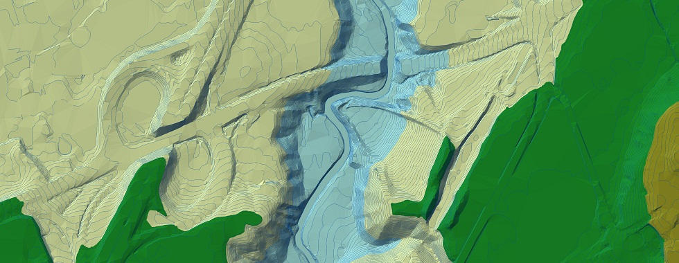
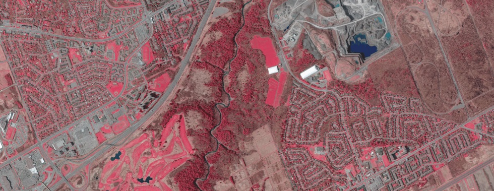
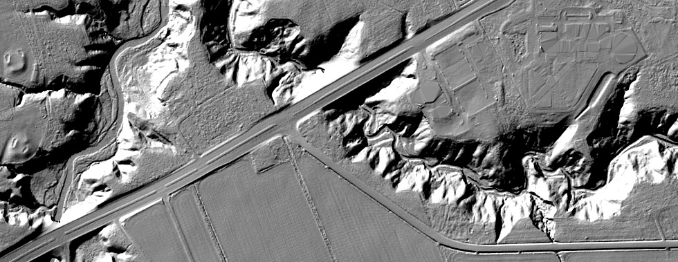
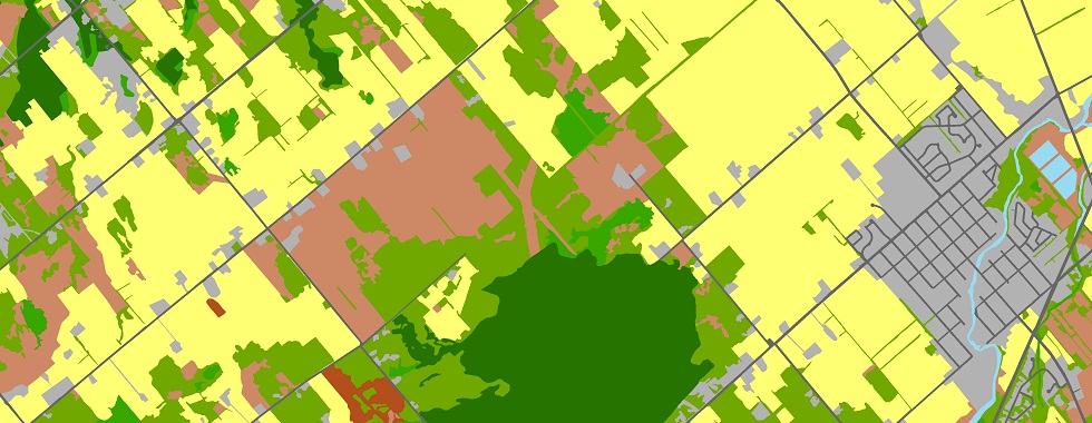
RVCA's interactive maps have watershed-wide 2024, 2019, 2014 & 2008 Imagery, as well as historic imagery dating back to the 1950s for the City of Ottawa. We also have watershed-wide LiDAR terrain data, as well as Hazard Regulations, Hydrology, Conservation Areas, Drinking Water Source Protection, Political, Landcover & Natural Features, Monitoring/Gauge data and associated tools. View RVCA's extensive mapping and data on desktop, tablet, or mobile using one of our HTML5 interactive maps below.
RVCA now has simulated flyover videos of Rideau River, Jock River, Kemptville Creek & Tay River
 |
|
The RVCA GeoPortal is your one-stop-shop for everything RVCA GIS. The RVCA GeoPortal has multiple tools and themes to help you find data and locations. The tools include Address, Lot/Con & Natural Features search; the themes include Source Protection, Regulations, Water Gauges, Conservation Areas & Elevation. |
 |
| Quickly see the Current Flood Event as well as charted Flow and Water Level data at an RVCA gauge. Please visit the RVCA Flow and Water Levels webpage for further info. |
 |
|
Quickly see the Regulation 41/24 Mapping for the RVCA. Mapping includes regulated Wetlands, Flood, and Slope Hazards, along with the associated hazard allowances. Regulation 41/24 - Development, Interference with Wetlands and Alterations to Shorelines and Watercourses |
 |
| Quickly see Water Quality sites and data summaries from an interactive map, as well as real-time interactive graphs based on user-defined parameters. The baseline water quality parameters include: Conductivity, Copper, Ecoli, TKN (Nitrogen), pH, Phosphorus, TSS (suspended solids). Please visit RVCA Baseline Monitoring and watersheds.rvca.ca for further info. |
 |
| Quickly see the interactive RVCA Subwatershed Reports summarizing the health of the Rideau’s six main subwatersheds. Catchment Reports can also be viewed in the interactive maps by searching an address, zooming in, clicking on the map and following the link. Please visit the watersheds.rvca.ca webpage for further info. |
 |
| Quickly see RVCA's Conservation Areas. Outdoor recreation in a natural setting has proven physical, mental and spiritual health benefits. |
Want to learn more? Please contact Dave Crossman, GIS/IM: 613-692-3571 x1160
Visit Us on ArcGIS Online...rvca.arcgis.com
RVCA Subwatershed and Catchment Reports? watersheds.rvca.ca
The RVCA produces individual reports on the Rideau watershed’s catchments. These catchment reports are a compilation of data collected through the RVCA’s watershed monitoring and land cover classification programs. Catchment information is used to develop subwatershed reports that summarize the health of the Rideau’s six main subwatersheds.