class-header-css3
The RVCA GeoPortal is your one-stop-shop for everything RVCA GIS
View RVCA's extensive mapping and data on desktop, tablet, or mobile using one of our HTML5 interactive maps below.
class-header-css3
The RVCA GeoPortal is your one-stop-shop for everything RVCA GIS
View RVCA's extensive mapping and data on desktop, tablet, or mobile using one of our HTML5 interactive maps below.
class-header-css3
The RVCA GeoPortal is your one-stop-shop for everything RVCA GIS
View RVCA's extensive mapping and data on desktop, tablet, or mobile using one of our HTML5 interactive maps below.
class-header-css3
The RVCA GeoPortal is your one-stop-shop for everything RVCA GIS
View RVCA's extensive mapping and data on desktop, tablet, or mobile using one of our HTML5 interactive maps below.
class-header-css3
The RVCA GeoPortal is your one-stop-shop for everything RVCA GIS
View RVCA's extensive mapping and data on desktop, tablet, or mobile using one of our HTML5 interactive maps below.
class-header-css3
The RVCA GeoPortal is your one-stop-shop for everything RVCA GIS
View RVCA's extensive mapping and data on desktop, tablet, or mobile using one of our HTML5 interactive maps below.
class-header-css3
The RVCA GeoPortal is your one-stop-shop for everything RVCA GIS
View RVCA's extensive mapping and data on desktop, tablet, or mobile using one of our HTML5 interactive maps below.
class-header-css3
The RVCA GeoPortal is your one-stop-shop for everything RVCA GIS
View RVCA's extensive mapping and data on desktop, tablet, or mobile using one of our HTML5 interactive maps below.

Open Data

To aid in transparency & decision-making, RVCA is working towards freely-downloadable and open, online-access to key datasets, information & mapping. We are currently developing in JKAN. A light-weight, user-friendly, open source data portal available on GitHub. We will be rolling out datasets one-by-one, when available, each with an associated licence and metadata.

RVCA GIS Open Data Portal

Browse RVCA's Open Data by Category or explore our complete catalog

Data from RVCA GIS Open Data is provided under one of two licence agreements:
1. Standard Data Licence
2. Open Data Licence

    RVCA may make changes to the terms of these licenses and version accordingly. By downloading the data, you agree to the terms of the associated licence. We continue to review our data and licensing approach and are committed to providing more data access & services.


Web Mapping Services

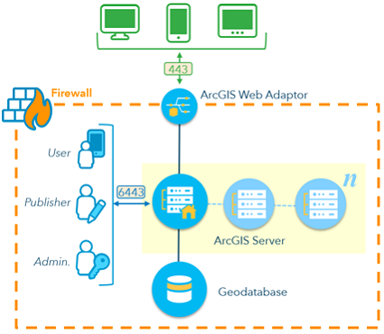
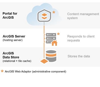
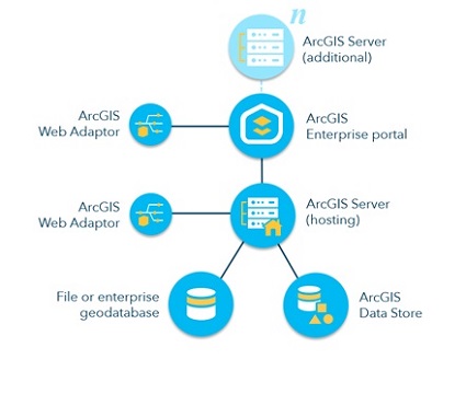
The RVCA's web mapping services are available to consume in GIS (ie ArcGIS Desktop or ArcGIS Online) or your own interactive web maps. The map services can be found one of two ways. From our REST endpoint or via ArcGIS Online. Please follow the instructions below to access our data. For a full description of the ArcGIS REST API, please visit resources.arcgis.com


  1. REST endpoint:

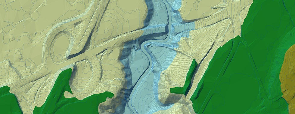
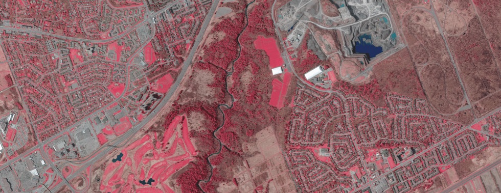
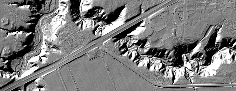
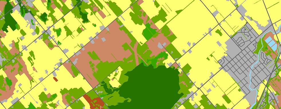
  2. Contains web mapping services used in the various RVCA GeoPortals, including Hazards & Regulation Mapping, Monitoring/Gauges, Drinking Water Source Protection, Hydrology, Conservation Areas, Landcover & Natural Features, Political, Imagery and Topography (Terrain)
    Services can be consumed in ArcGIS Desktop by following the instructions below:
    •  Connect to the RVCA ArcGIS Server:
      1. Open ArcCatalog and expand GIS Servers in the folder tree
      2. Double-click on 'Add ArcGIS Server' to open the wizard
      3. In the dialog box select 'Use GIS Services' and click Next
      4. Paste https://gis.rvca.ca/server/rest/services into the Server URL textbox
      5. Click Finish. Look at your folder tree, 'server on gis.rvca.ca' should be listed.
    •  Add Map Layer(s) to ArcGIS Desktop:
      1. Click on 'Add Data' in ArcGIS Desktop
      2. Navigate to the GIS Servers folder and double-click 'server on gis.rvca.ca'
      3. Select the map layer(s) you are looking for and click 'Add'
    1 / 3
    ArcGIS Server
    2 / 3
    Federated Portal - General
    3 / 3
    Federated Portal - Complete

        ArcGIS Online

    Contains all the web mapping services listed above via our REST endpoint, but accessible from ArcGIS Online. Open RVCA ArcGIS Online Map and then login or click Modify Map in the top-right corner. Click the Add button and then Search for Layers. All the publicly available RVCA layers should appear and be available to add to the map. If not, search ArcGIS Online and in the Find textbox type RVCA and browse for all services published by RVCA_GIS.
    Services can be added to ArcGIS Desktop by following the instructions below:
      1. Click the arrow beside the 'Add Data' button and click 'Add Data From ArcGIS Online'
      2. Type RVCA in 'Search ArcGIS Online...' and browse for services published by RVCA_GIS


Want to learn more? Please contact Dave Crossman, GIS/IM: 613-692-3571 x1160

Visit Us on ArcGIS Online...rvca.arcgis.com


RVCA Subwatershed and Catchment Reports?   watersheds.rvca.ca

The RVCA produces individual reports on the Rideau watershed’s catchments. These catchment reports are a compilation of data collected through the RVCA’s watershed monitoring and land cover classification programs. Catchment information is used to develop subwatershed reports that summarize the health of the Rideau’s six main subwatersheds.

gis.rvca.ca
his.rvca.ca
rvca.arcgis.com