
Open an RVCA trail map with your live GPS position
Download the RVCA GeoPDF trail map, import it into the NomadTracks free app, and use the map on the trail even when cellular service is unavailable.
 → NomadTracks free app
 → Download RVCA Trail Maps
Alternatives to NomadTracks +
Install NomadTracks and import the trail map while you have a reliable internet connection. After import, the map is stored on your phone for offline use.
Download the RVCA GeoPDF trail map
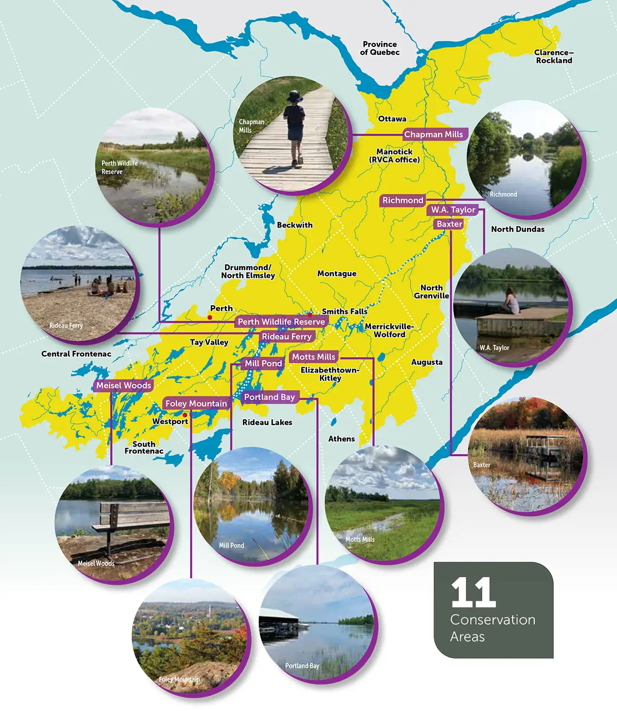
Expand below to show all RVCA CA Maps. Then select and download the trail map(s) you need.
+ Click to show all RVCA Maps



Import it into NomadTracks
Install NomadTracks
Use the NomadTracks free app button above. Once installed, open the app.
Open the Maps tab
Tap the + button and select the GeoPDF you downloaded. The embedded georeferencing is detected automatically with nothing to configure.
Or import from your Files app
Open the downloaded PDF, tap Share, then choose NomadTracks.
Enable the map
Turn the imported map on as an overlay. Your phone's GPS position will appear as a directional arrow on the trail map.
Use it offline on the trail
Once the GeoPDF has been imported, the map file is available on your device. GPS positioning does not require cellular service.
- Download and import the map before leaving.
- Allow NomadTracks to access your location.
- Keep Location Services enabled while using the map.
- Carry a charged phone and follow posted trail signs.